“One young emigrant reported a pamphlet describing a lush California with its ideal climate and flowers that bloomed all winter ‘made me just crazy to move out there, for I thought such a country must be a paradise.’”
National Trails
Thanks to the 1968 National Trails Systems Act, we have an enduring legacy of nationally protected trails. There are four kinds of nationally protected trails:
- Scenic Trails
- Historic Trails
- Connecting and Side Trails
- Geologic Trails
It's interesting there are so few national trails. There's eleven scenic trails, only two national connecting and side trails. There's only one national geologic trail, Ice Age Floods National Geologic Trail. Extending from Washington to Montana, the massive network of smaller trails, way finding signage and facilities inform the consequences of the Glacial Lake Missoula floods from the prior 110,000 year old glacial period.
Significance of Historic Trails
“To promote the preservation of, public access to, travel within, and enjoyment and appreciation of the open-air, outdoor areas and historic resources of the Nation. ”
These trails literally map footsteps for our national past and acknowledge a preservation of the California legacy extending hundreds of years. National historic trails signify important landmarks in the American experience.
Considering there are 59 National Parks, take a guess how many historic trails America has?
19 trails.
California National Historic Trails
Let's take a look at the three national historic trails that encounter California. An important aside, because the national trail concept is so new, many of the trails are merely scenic routes only passable by car. I know, totally isn't the same. But here's the good news: the National Park Service has goals for converting vehicular passable trails into non-motorized national historic trails. Many of the timelines for development obviously will take decades, if not a centuries, to complete. Trails require easements, landowner agreements, trail building, way finding and maintenance. It's a huge effort, but mostly the system needs landowners willing to step up to the conservation and preservation ideals.
Here's a copy of the National Trails System map, produced by the National Park Service.
Let's get into California's National Historic trails.
THE CALIFORNIA TRAIL
Courtesy of the National Park Service
Many of the trails with legs extending into California are infrastructure relics of the 1700s-1800s, where manifest destiny, spurred onward by the 1804 Lewis and Clark Corp of Discovery Expedition, trod the west in search of the great, yet fabled northwest passage. The mid-1800s enticed easterners to flee their families in search of grand fortune during the great gold rush of Spring 1849.
The California Trail is a 2,000 mile emigrant path following the same line as the Oregon and Mormon Trails through the valleys of Platte, North Platte and Sweetwater Rivers to Wyoming. Serving the California, Mormon and Oregon trails, the system branches off into different sub-trails, described as "a long rope with frayed ends."
Most emigrants began their journey in one of the many Missouri River towns, following the California Trail from Fort Kearny to South Pass (now present day Wyoming). The trail then fanned out in several directions serving the desired final endpoints.
The massive influx of travelers along the California Trail in the early 1850s, unsurprisingly boosted by the California gold rush (1848-1055) ballooned California's population to become eligible for the 31st state, Sept. 9, 1850.
Here's a beautiful plot of the California Trail produced by the National Park System.
The California Trail holds the current title for the longest national trail, which arguably depends on how one measures the complete distance. The trail covers 5,660 miles across ten states, but because of the frayed ends, the distance varies by starting and end points. Interestingly, the longest NPS administered trail is the formidable 6,800 mile American Discovery Trail, connecting coast to coast and is passable by foot. People participating in completing the trail are followed on the American Discovery Trail website. A number of trail supporters are seeking legislation to make the American Discovery Trail into a National Park, an effort the Californist heartily supports.
JUAN BAUTISTA DE ANZA NATIONAL HISTORIC TRAIL
The 1,200 mile Juan Bautista De Anza trail chronicles the legendary journey of 240 men, women and children migrating from Tubac Arizona (near present-day Tucson Arizona) across the the frontier of New Spain to establish settlements in San Francisco Bay.
Anza was a frontier soldier, who under the direction of the King of Spain, set out with his expedition through California's treacherous southern deserts and mountain crossings amidst a brutal winter. His mileposts were the various Southern and Central California missions and forts. Anza's final destination was the establishment of the Presidio and the Mission San Francisco de Asis (Mission Dolores) which later became the City of San Francisco. Though it should be noted Anza didn't establish the City of San Francisco, that honor is co-attributed to the Spanish soldiers Jose Joaquin Moraga and Francisco Palou.
The overall Juan Bautista de Anza journey, with both northern and southern expeditions from Tubac Presidio are detailed in the map above.
A focus for the National Park Service (NPS) is the creation of a continuous non-motorized recreation trail approximating the historic Anza Expedition route of 1775-76 (from Noales on the US-Mexico border in Arizona to San Francisco). The NPS has its work cut out, with roughly 25% (300 miles) of trail so far developed. Trail-building efforts stall as the need for landowners to work with the agency to help designate easements, certify agreements and ultimately partner in the construction and maintenance of the trails.
If I were a California landowner, I can't think of a better way to contribute to my patriotic heritage than protecting our land and scenic beauty for the benefit and enjoyment of future generations. A true contemporary legacy.
OLD SPANISH NATIONAL HISTORIC TRAIL
Courtesy of the National Park Service
Emigrant Pass. It's a hundred degrees and you have to walk across this. Source: National Park Service.
Considered the most difficult and strenuous trade route ever established in the US, the 700 mile historic Old Spanish Trail connected settlements in northern New Mexico with communities in Los Angeles, California. The trail weaves high Sierra mountains, brutal deserts and steep canyons.
Spanish explorers began using the trail in the 1500s and continued use through the 1850s. Massive pack trains specifically used the trail system during its most prolific era between the 1830s and the 1850s. Heavily used and often treacherous, expeditions regularly turned back to origins upon meeting clandestine deserts. It wasn't until Francisco Garces and Juan Bautista de Anza, mentioned above, explored the southern region that easier trails to the west were established.
The Spanish Trail carries mixed and sordid histories from benign use, trapping and fur trading route connectivity, to low-scale settlements and even more illicit use in the native/Mexican slave trade. Human trafficking of native American women and children, principally the Paiute tribe, were captured and sold to Mexican ranchers in both California and New Mexico.
It's always surprising to read things like this, especially contrasted with the Civil War, internment camps and suffrage which further acknowledges the great historically atrocities California shares with the nation. Being candid and honest about our state and national histories is important for informing our future.
Understandably, interactions along the trail between the natives and the traders were ferocious, with raids and warfare breaking out between both groups regularly in the early-to-mid 1800s. Fighting aside, the trail offered a distinctly practical route for trading.
"Warm, colorful serapes, blankets and ponchos were coveted in Los Angeles, while Santa Fe citizens waited for the pack mule trains to bring back horses and mules," states National Park Service documents. As development flourished throughout the late 1800s, the need for the trail system began to wane. In 1869, the new intercontinental rail system connected the Midwest to San Francisco bypassing the need for a treacherous and dangerous trail. Portions of the Spanish Trail were upgraded into wagon roads, but the fabled trade route was largely relegated into history. Entropy--a universal fact.
See that dark, shaded mountain in the background? Let's go. A section of the Spanish Trail through the Mojave Desert. Source: National Park Service
Today, much of the route is approximated and navigable by vehicle, a testament to how old roads become new roads and the evolution of mobility adapts to the mode choice of the day.
Many landmarks are still observable and listed on the National Park Service trail map to help visitors get an idea of the scope and difficulty of the original Spanish Trail. The following locations have Old Spanish Trail sites and information. Some are cool stopovers on longer trips. Pay respect for those who had to lose their families to go the distance we travel by car in 4 hours.
• Desert Discovery Center, Barstow
• El Pueblo de Los Angeles Historical Monument
• Mission San Gabriel, San Gabriel
• Mojave National Preserve
• Mojave River Valley Museum, Barstow
• San Bernardino County Museum, Redlands
CLOSING NOTE
We sincerely hope you enjoyed this piece and look forward to producing more investigative and researched pieces in the future. This resource is a huge labor of love, shoot us a comment and tell us about your favorite California trails and histories. Check out our piece on the California Eucalyptus history and problems and our chronicle of the Great Tree Tour, where we visit the oldest, most massive and tallest living things on earth, all found in California.
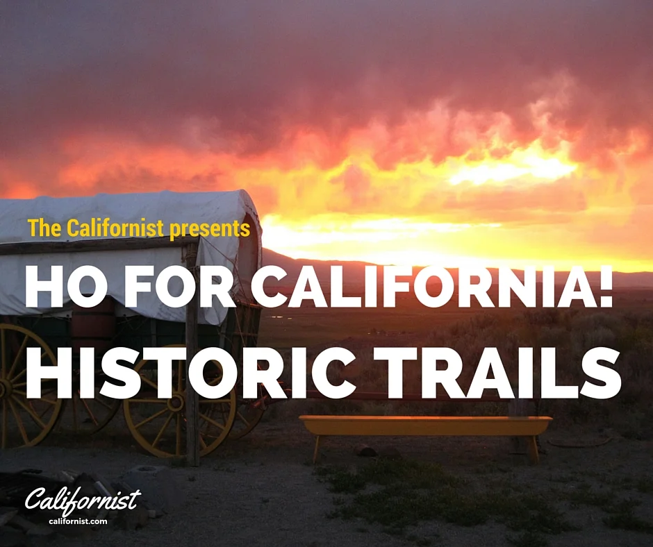
Banner image courtesy of Bureau of Land Management